Montana County Maps
Find Montana county and township maps.
Custer County, Montana
Find your Montana County by searching for your address, or by clicking on the map.
Custer County, Montana Map
An detailed map of Custer County. Click on a nearby County to view more information about that County.
Map of Counties in Montana
An interactive map of Counties in Montana. Click on a County to view more information about that County.
About Custer County, Montana

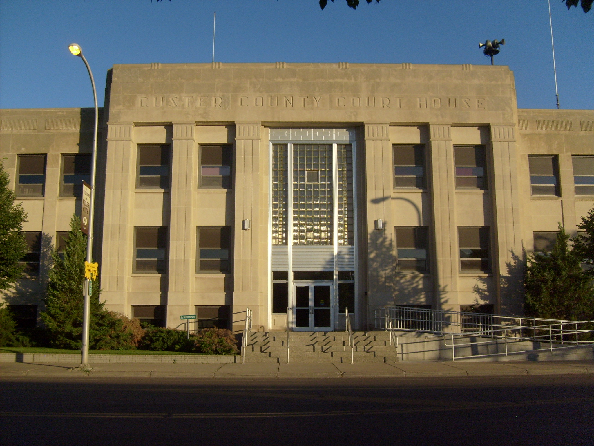
Custer County is a county located in the southeast part of the U.S. state of Montana. As of the 2020 U.S. census, the population was 11,867. Its county seat and largest town is Miles City. The county was established after the end of the American Civil War (1861-1865), on June 2, 1865, as one of the nine original counties of the new western federal Territory of Montana, which had been formed the previous May of 1864 by the United States Congress, with the approval of 16th President Abraham Lincoln. It was originally named Big Horn County of the old Montana Territory, and was renamed on February 16, 1877, in honor of Lieutenant Colonel George Armstrong Custer (1839-1876), commander of the famous 7th Cavalry Regiment of the United States Army, recently massacred and killed in the nearby Battle of the Little Bighorn, in the later portion of the American Indian Wars, the year before in June 1876.
What is this?
This site has an interactive map of Montana Counties. Click on the map to find your Montana county, and view more details. You can also search for your address and use your GPS to find your Montana County.
Find what County you are in, and see official Montana County resources and information. Find any county in the United Stated, along with resources and links to official County websites. See a County map and local details. Looking for what county you are currently in? Find out on this map or use your device GPS to see what county you are in.