Puerto Rico County Maps
Find Puerto Rico county and township maps.
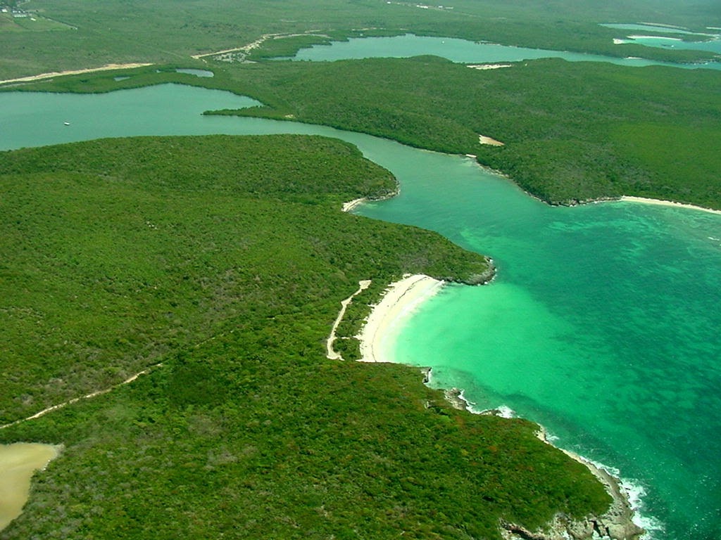
Vieques County, Puerto Rico
Find your Puerto Rico County by searching for your address, or by clicking on the map.
Vieques County, Puerto Rico Map
An detailed map of Vieques County. Click on a nearby County to view more information about that County.
Map of Barrios in Vieques County, Puerto Rico
An interactive map of county subdivisions in Vieques County. In Puerto Rico, that can include Barrios and Barrio-pueblos. Find what barrio you are in now.
Map of Counties in Puerto Rico
An interactive map of Counties in Puerto Rico. Click on a County to view more information about that County.
About Vieques, Puerto Rico
Vieques, officially Isla de Vieques, is an island, town and municipality of Puerto Rico, and together with Culebra, it is geographically part of the Spanish Virgin Islands. Vieques lies about 8 miles (13 km) east of the mainland of Puerto Rico, measuring about 20 miles (32 km) long and 4.5 miles (7 km) wide. Its most populated barrio is the town of Isabel Segunda, the administrative center located on the northern side of the island. The population of Vieques was 8,249 at the 2020 Census.
What is this?
This site has an interactive map of Puerto Rico Counties. Click on the map to find your Puerto Rico county, and view more details. You can also search for your address and use your GPS to find your Puerto Rico County.
Find what County you are in, and see official Puerto Rico County resources and information. Find any county in the United Stated, along with resources and links to official County websites. See a County map and local details. Looking for what county you are currently in? Find out on this map or use your device GPS to see what county you are in.