What is my elevation?
Elevation Map
More Information
About Altamira, Pará
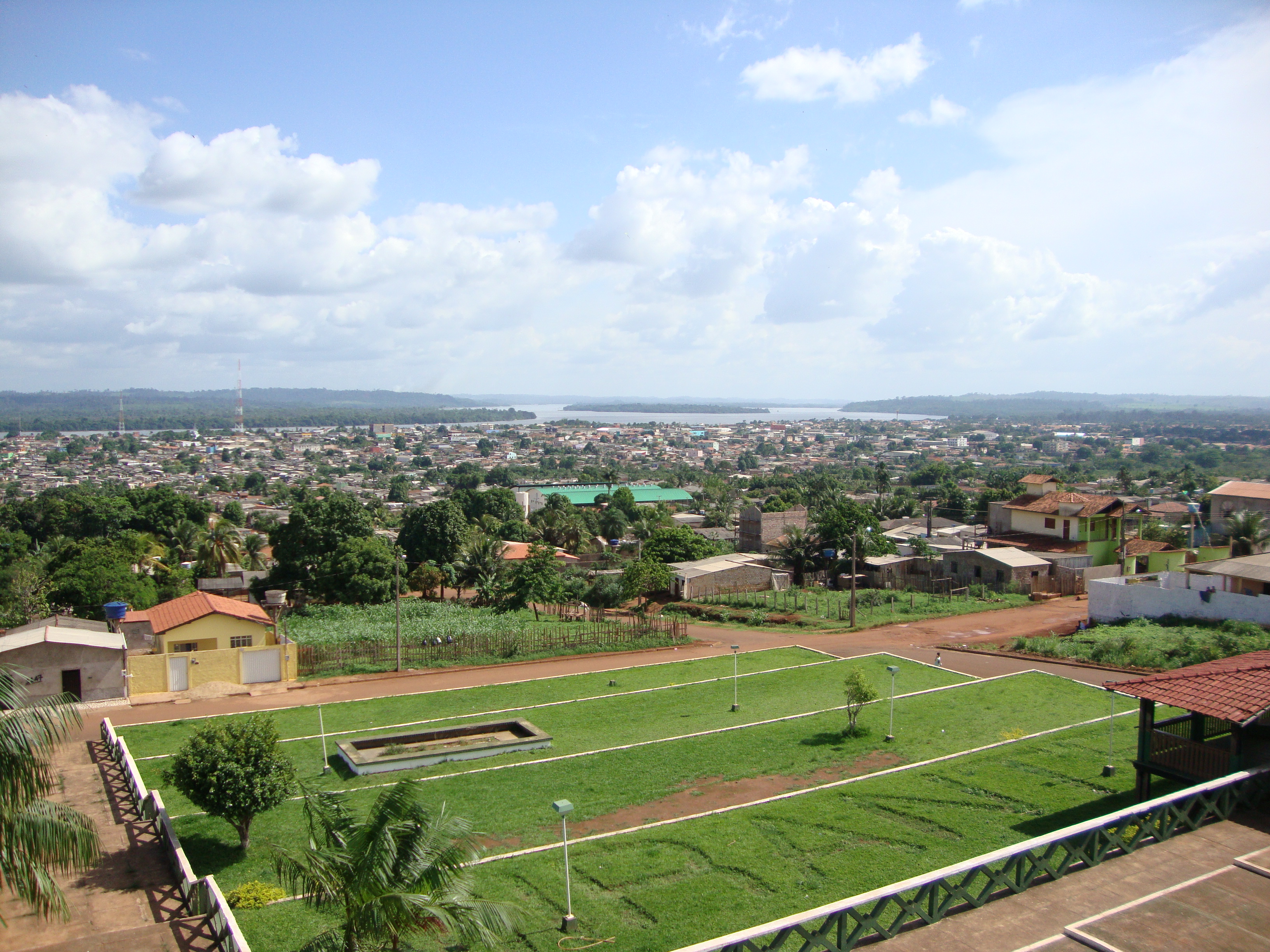
Altamira is one of one hundred and forty-four municipalities in the state of Pará, in northern Brazil. It has an area of 159,533.73 square kilometres or 61,596.32 square miles, making it the largest municipality by area both in Pará state and Brazil, and until 2009 it was the world's largest municipal subdivision. It occupies 12.8% of the state's territory, 1.8% of Brazil's territory and 0.8% of South America. It also covers a more extensive area than 104 countries, and is comparable to the US states of Missouri and Florida.
What is this?
This site was designed to help you find the height above sea level of your current location, or any point on Earth. When viewed from a phone that supports altitude readings, the reading will come directly from your device altitude reading and will update automatically as you move. From a computer your elevation is loaded from our API based on your location.
The elevation map also supports dragging the location pin on the map to search for nearby locations. You can also use the search bar to find any location in the world.
Why use an elevation map?
An elevation map is a topographical map that shows the height of the land above sea level. Elevation maps are also used by hikers and backpackers to determine the difficulty of a hike. Elevation maps are also used by surveyors to determine the elevation of a plot of land.
What is elevation?
Elevation is a measurement of height above sea level. Elevation typically refers to the height of a point on the earth’s surface, and not in the air. Altitude is a measurement of an object’s height, often referring to your height above the ground (such as in an airplane or a satellite). While elevation is often the preferred term for the height of your current location, altitude and height above sea level are also common.
How do you find your elevation?
Using this website you can find out your elevation no matter where you are. How does this site determine your precise elevation? The site receives GPS data from your phone. This satellite technology is also used to determine your precise location and help you navigate in apps like Google Maps.
Your phone acts as a receiver for satellite data. The time it takes for each of the satellite signals to reach the receiver are measured in relation to each other and to the speed of light. Because each of the satellites is in a different place, the three signals can be used to estimate a three dimensional position and can determine your position on the Earth to an extremely high degree of accuracy.
Using this site you can determine elevation for any location in the world, whether you are there or not. Simply enter an address anywhere in the world and you will be given its elevation in either feet or meters.
Web vs phone elevation
When you use the site on a mobile device with a built-in altimeter, your elevation is determined by your phone’s built-in altitude reading by default (this will show up as “according to your phone”). This method may be less accurate when you need the exact elevation for your location, but has the advantage of giving you real-time altitude updates as you move. This also allows you to bookmark our site to use when you are not connected to the Internet.
When visiting from a desktop computer, or when searching for an address, your elevation is determined by your GPS coordinates based on satellite data.