What is my elevation?
Elevation Map
More Information
About Sonsonate, El Salvador
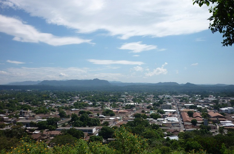
Sonsonate is a city and district of El Salvador, of which it is also its municipal seat. It has an estimated population of 71,980 inhabitants for the year 2020. Sonsonate is the second most important city in western El Salvador. The town was founded under the name of "Villa del Espíritu Santo" on vacant lots near the town of los Izalcos in 1552. However, this foundation would be extremely ephemeral, because the following year, in 1553, this villa would be transferred to its current location, with the name of "Villa de la Santísima Trinidad de Sonsonate", in a cocoa-producing area. With the passage of time, the town would be known simply by the name of Sonsonate. This name was taken from the Rio Grande or Sonsonate in the Nahuat language, which crosses it from north to south across the entire plain until it flows into the Pacific Ocean. This was the third Spanish population founded in the territories that currently constitute El Salvador, although, it is worth clarifying, during the entire period of Spanish domination of America, Sonsonate was the capital of the Mayor's Office of Sonsonate, a territory apart from the one administered by San Salvador, today the capital of El Salvador.
What is this?
This site was designed to help you find the height above sea level of your current location, or any point on Earth. When viewed from a phone that supports altitude readings, the reading will come directly from your device altitude reading and will update automatically as you move. From a computer your elevation is loaded from our API based on your location.
The elevation map also supports dragging the location pin on the map to search for nearby locations. You can also use the search bar to find any location in the world.
Why use an elevation map?
An elevation map is a topographical map that shows the height of the land above sea level. Elevation maps are also used by hikers and backpackers to determine the difficulty of a hike. Elevation maps are also used by surveyors to determine the elevation of a plot of land.
What is elevation?
Elevation is a measurement of height above sea level. Elevation typically refers to the height of a point on the earth’s surface, and not in the air. Altitude is a measurement of an object’s height, often referring to your height above the ground (such as in an airplane or a satellite). While elevation is often the preferred term for the height of your current location, altitude and height above sea level are also common.
How do you find your elevation?
Using this website you can find out your elevation no matter where you are. How does this site determine your precise elevation? The site receives GPS data from your phone. This satellite technology is also used to determine your precise location and help you navigate in apps like Google Maps.
Your phone acts as a receiver for satellite data. The time it takes for each of the satellite signals to reach the receiver are measured in relation to each other and to the speed of light. Because each of the satellites is in a different place, the three signals can be used to estimate a three dimensional position and can determine your position on the Earth to an extremely high degree of accuracy.
Using this site you can determine elevation for any location in the world, whether you are there or not. Simply enter an address anywhere in the world and you will be given its elevation in either feet or meters.
Web vs phone elevation
When you use the site on a mobile device with a built-in altimeter, your elevation is determined by your phone’s built-in altitude reading by default (this will show up as “according to your phone”). This method may be less accurate when you need the exact elevation for your location, but has the advantage of giving you real-time altitude updates as you move. This also allows you to bookmark our site to use when you are not connected to the Internet.
When visiting from a desktop computer, or when searching for an address, your elevation is determined by your GPS coordinates based on satellite data.