What is my elevation?
Elevation Map
More Information
About Panipat
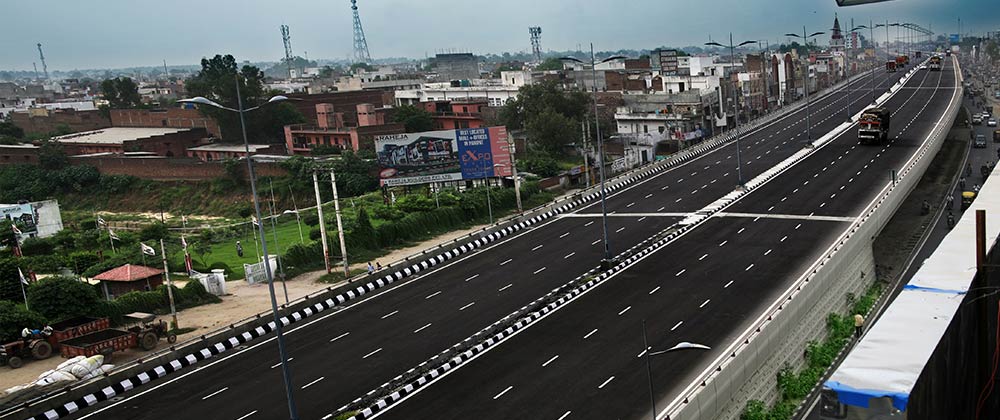
Panipat is an industrial planned city, located in Haryana, India. It is 95 km north of Delhi and 169 km south of Chandigarh on NH-1. The three major battles fought in 1526, 1556 and 1761 took place near the city. The city is famous in India as the "City of Weavers" and "Textile City." It is also known as the "cast-off capital" due to being "the global center for recycling textiles". Panipat is also home to a variety of manufacturing industries, including wool and cotton milling, saltpetre refining, and the manufacture of glass, electrical appliances, and other products. Panipat is included in the list of critically polluted industrial areas in India. The Comprehensive Environment Pollution Index (CEPI) of the city is 71.91, as against 88.50 of Ankaleshwar (Gujarat). The fatal field of Panipat is the site of three battles that changed the course of India's history, resulting in the creation and confirmation of the Mughal Empire. The third battle led to the decisive defeat of the Maratha Confederacy in North India, which became a dominating power in Delhi by then and paved the way for the British colonial rule of India.
What is this?
This site was designed to help you find the height above sea level of your current location, or any point on Earth. When viewed from a phone that supports altitude readings, the reading will come directly from your device altitude reading and will update automatically as you move. From a computer your elevation is loaded from our API based on your location.
The elevation map also supports dragging the location pin on the map to search for nearby locations. You can also use the search bar to find any location in the world.
Why use an elevation map?
An elevation map is a topographical map that shows the height of the land above sea level. Elevation maps are also used by hikers and backpackers to determine the difficulty of a hike. Elevation maps are also used by surveyors to determine the elevation of a plot of land.
What is elevation?
Elevation is a measurement of height above sea level. Elevation typically refers to the height of a point on the earth’s surface, and not in the air. Altitude is a measurement of an object’s height, often referring to your height above the ground (such as in an airplane or a satellite). While elevation is often the preferred term for the height of your current location, altitude and height above sea level are also common.
How do you find your elevation?
Using this website you can find out your elevation no matter where you are. How does this site determine your precise elevation? The site receives GPS data from your phone. This satellite technology is also used to determine your precise location and help you navigate in apps like Google Maps.
Your phone acts as a receiver for satellite data. The time it takes for each of the satellite signals to reach the receiver are measured in relation to each other and to the speed of light. Because each of the satellites is in a different place, the three signals can be used to estimate a three dimensional position and can determine your position on the Earth to an extremely high degree of accuracy.
Using this site you can determine elevation for any location in the world, whether you are there or not. Simply enter an address anywhere in the world and you will be given its elevation in either feet or meters.
Web vs phone elevation
When you use the site on a mobile device with a built-in altimeter, your elevation is determined by your phone’s built-in altitude reading by default (this will show up as “according to your phone”). This method may be less accurate when you need the exact elevation for your location, but has the advantage of giving you real-time altitude updates as you move. This also allows you to bookmark our site to use when you are not connected to the Internet.
When visiting from a desktop computer, or when searching for an address, your elevation is determined by your GPS coordinates based on satellite data.