Mountains near me
Nearby Mountains Map
Nearby Peaks List
About Maebashi
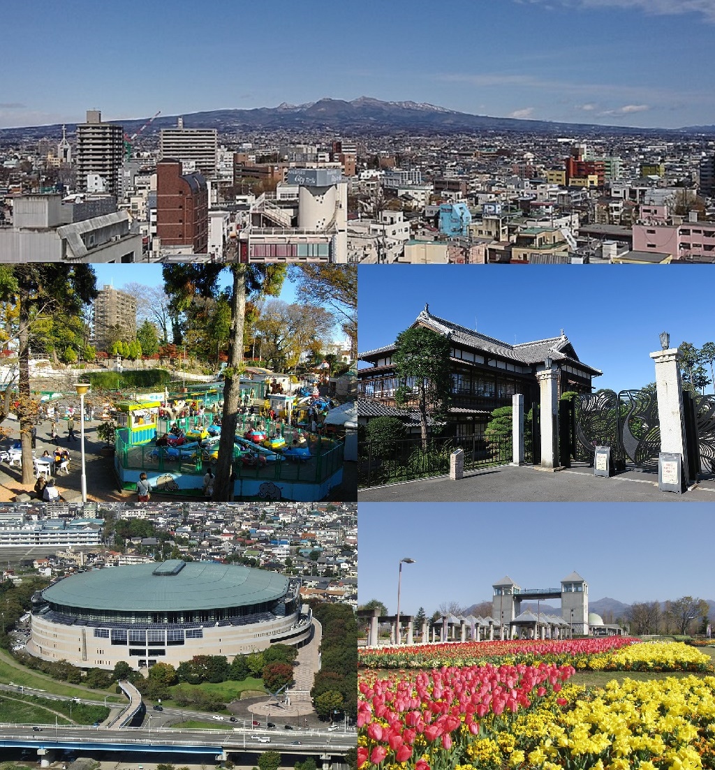
Maebashi is the capital city of Gunma Prefecture, in the northern Kantō region of Japan. As of 31 August 2020, the city had an estimated population of 335,352 in 151,171 households, and a population density of 1100 persons per km2. The total area of the city is 311.59 km2 (120.31 sq mi). It was the most populous city within Gunma Prefecture until Takasaki merged with nearby towns between 2006 and 2009. Maebashi is known to be the "City of Water, Greenery and Poets" because of its pure waters, its rich nature and because it gave birth to several Japanese contemporary poets, such as Sakutarō Hagiwara.
Find the elevation of nearby mountain peaks
What mountains are near me?
This site will help you find the mountains and peaks near your current location. It also will also show you the elevation, distance, and bearing of the mountain or peak. You can also see the mountain range to easily give verbal diretions to help someone get to your address.
What is a mountain?
A mountain is a large landform that rises above the surrounding land in a limited area, usually in the form of a peak. A mountain is generally considered to be steeper than a hill. Mountains are formed through tectonic forces or volcanism. These forces can locally raise the surface of the earth. Mountains erode slowly through the action of rivers, weather conditions, and glaciers. A few mountains are isolated summits, but most occur in huge mountain ranges.
What is a peak?
A peak is the pointed top of a mountain. The term is used in the fields of geography, geology, and earth science to describe a mountain or hill that is clearly identified by its height, shape, and location.
How do you find nearby mountains?
Using this website you can find out the mountains and peaks near your current location. How does this site determine your precise elevation? The site receives GPS data from your phone. This satellite technology is also used to determine your precise location and help you navigate in apps like Google Maps.
Your phone acts as a receiver for satellite data. The time it takes for each of the satellite signals to reach the receiver are measured in relation to each other and to the speed of light. Because each of the satellites is in a different place, the three signals can be used to estimate a three dimensional position and can determine your position on the Earth to an extremely high degree of accuracy.
Using this site you can determine elevation for any location in the world, whether you are there or not. Simply enter an address anywhere in the world and you will be given its elevation in either feet or meters.
Peaks Atlas
Our peaks atlas has a list of cities in the United States to help you find the nearby mountains for any location in the country. You can also search for any location on Earth.