Mountains near me
Nearby Mountains Map
Nearby Peaks List
About Lagos
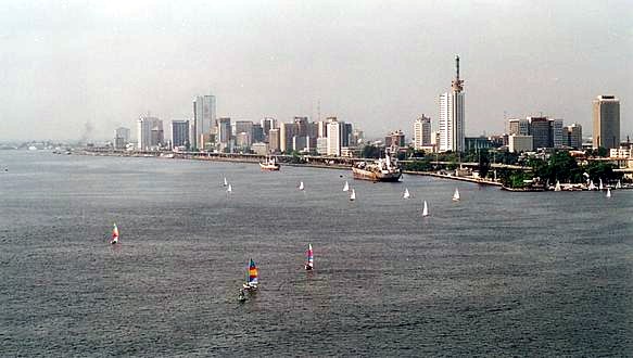
Lagos, or Lagos City, is a large metropolitan city in southwestern Nigeria. With an upper population estimate of 21 million, it is the largest city in Nigeria, and the most populous urban area on the African continent. Lagos was the national capital of Nigeria until the government's December 1991 decision to move their capital to Abuja in the centre of the country. Lagos is a major African financial centre and is the economic hub of Lagos State and Nigeria at large. The city has a significant influence on commerce, entertainment, technology, education, politics, tourism, art, and fashion in Africa. Lagos is also among the top ten of the world's fastest-growing cities and urban areas. In 2024, Time Out magazine ranked Lagos as the 19th Best City to visit in the World. A megacity, it has the fourth-highest GDP in Africa, and houses one of the largest and busiest seaports on the continent. Due to the large urban population and port traffic volumes, Lagos is classified as a Medium-Port Megacity.
Find the elevation of nearby mountain peaks
What mountains are near me?
This site will help you find the mountains and peaks near your current location. It also will also show you the elevation, distance, and bearing of the mountain or peak. You can also see the mountain range to easily give verbal diretions to help someone get to your address.
What is a mountain?
A mountain is a large landform that rises above the surrounding land in a limited area, usually in the form of a peak. A mountain is generally considered to be steeper than a hill. Mountains are formed through tectonic forces or volcanism. These forces can locally raise the surface of the earth. Mountains erode slowly through the action of rivers, weather conditions, and glaciers. A few mountains are isolated summits, but most occur in huge mountain ranges.
What is a peak?
A peak is the pointed top of a mountain. The term is used in the fields of geography, geology, and earth science to describe a mountain or hill that is clearly identified by its height, shape, and location.
How do you find nearby mountains?
Using this website you can find out the mountains and peaks near your current location. How does this site determine your precise elevation? The site receives GPS data from your phone. This satellite technology is also used to determine your precise location and help you navigate in apps like Google Maps.
Your phone acts as a receiver for satellite data. The time it takes for each of the satellite signals to reach the receiver are measured in relation to each other and to the speed of light. Because each of the satellites is in a different place, the three signals can be used to estimate a three dimensional position and can determine your position on the Earth to an extremely high degree of accuracy.
Using this site you can determine elevation for any location in the world, whether you are there or not. Simply enter an address anywhere in the world and you will be given its elevation in either feet or meters.
Peaks Atlas
Our peaks atlas has a list of cities in the United States to help you find the nearby mountains for any location in the country. You can also search for any location on Earth.