Rain Totals
Station Readings
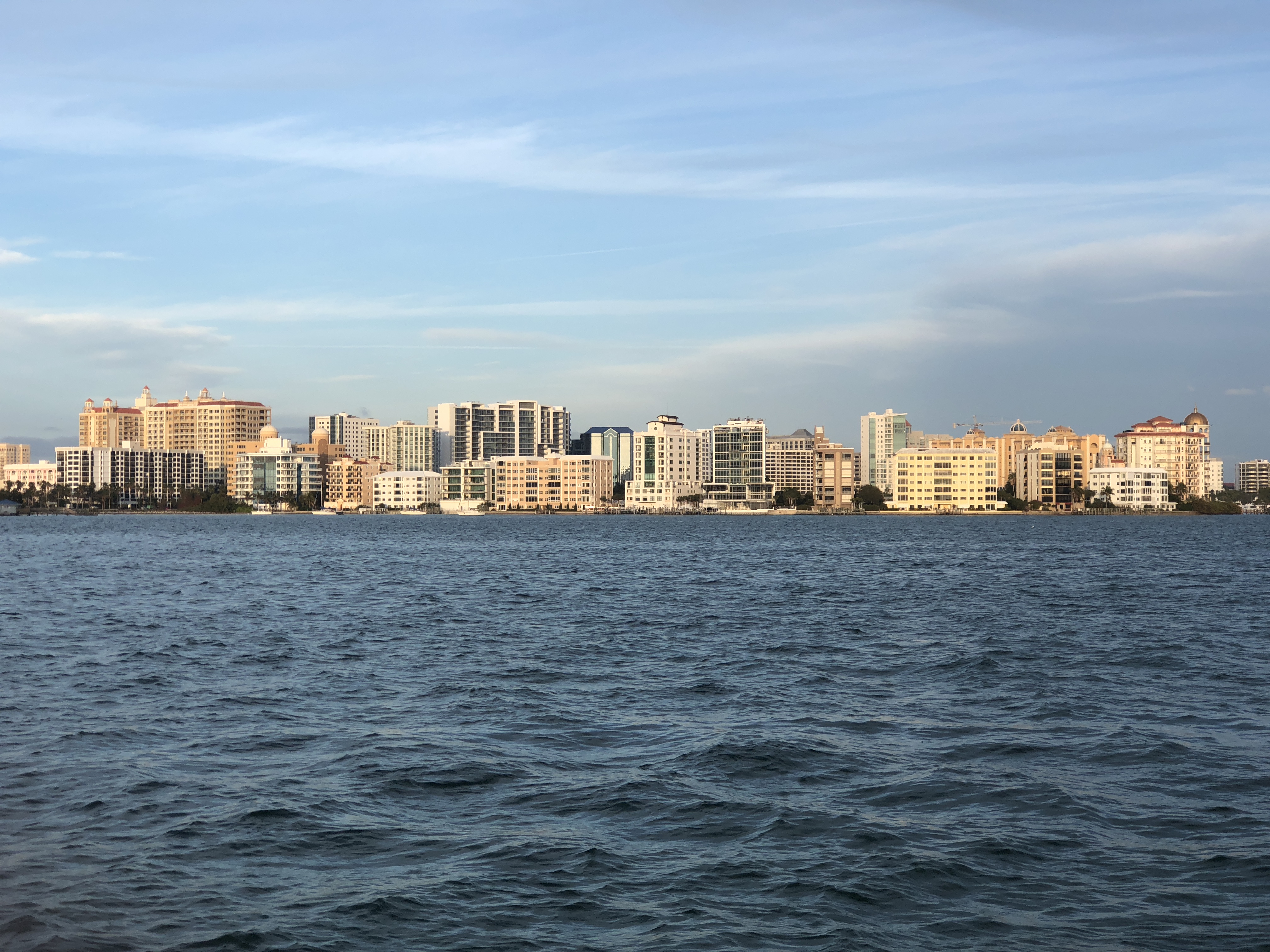
About Sarasota, Florida
Sarasota is a city in and the county seat of Sarasota County, Florida, United States. It is located in Southwest Florida, the southern end of the Greater Tampa Bay Area, and north of Fort Myers and Punta Gorda. Its official limits include Sarasota Bay and several barrier islands between the bay and the Gulf of Mexico. Sarasota is a principal city of the North Port-Bradenton-Sarasota, FL Metropolitan Statistical Area. According to the 2020 U.S. census, Sarasota had a population of 54,842, up from 51,917 at the 2010 census.
Find precipication totals and recent rainfall near you
Weather websites are very good at reporting how much rain is forecast for the next day or week, but often make it difficult to see what the actual precipitation totals are at the end of a storm. This site attempts to correct that by combining and simplifying data from the National Weather Service and the NOAA.
This site pulls data from multiple different sources of data from the National Weather Service and the National Weather Service NOHRSC to create the easiest way to find the most accurate precipitation data in your area. The data is updated throughout the day as station readings are reported, usually no more than once an hour.
You can view the precipitation totals for storms as well as nearby reports from weather stations across the country. You can also view the rain forecast for the next two days, and see a map of the recent rainfall in your area. You can use your current location to quickly get a sense of the current rain in your area or you can search for any address or city to see the precipitation in that area.
Rain Totals Atlas
Our rain totals atlas has a list of cities in the United States to help you find the recent precipitation of any location in the country.