Rain Totals
Station Readings
About Yucca Valley, California
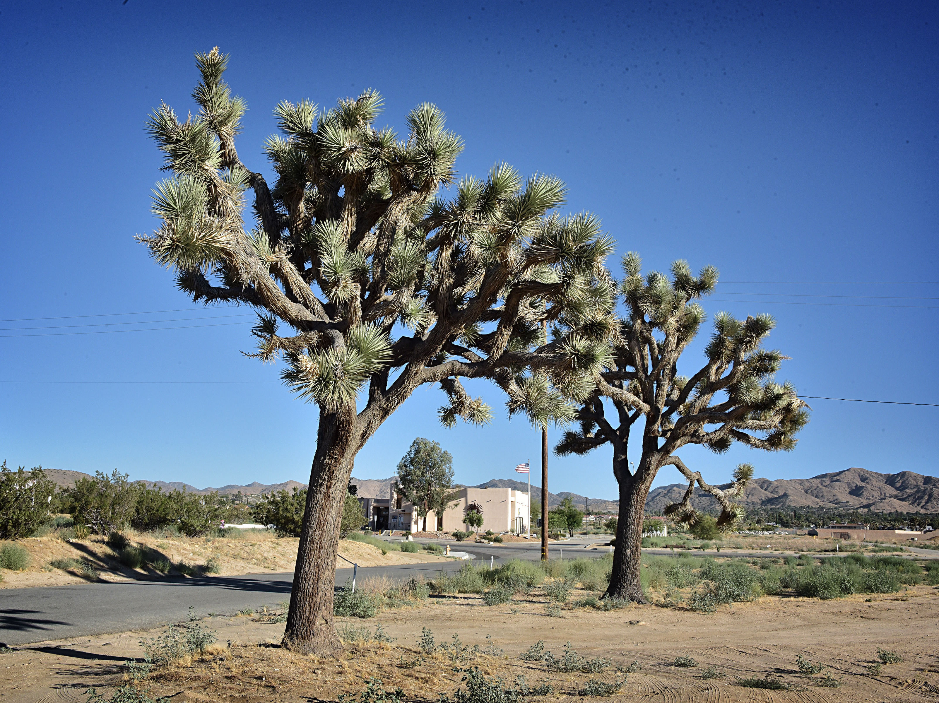
Yucca Valley is an incorporated town in San Bernardino County, California, United States. The population was 21,738 as of the 2020 census. Yucca Valley lies 20 miles (32 km) north of Palm Springs, and 49 miles (79 km) east of San Bernardino. Bordered to the south by the Joshua Tree National Park and to the west by the San Bernardino Mountains, the town of Yucca Valley is located in the Mojave Desert at roughly 3,300 feet (1,000 m) above sea level.
Find precipication totals and recent rainfall near you
Weather websites are very good at reporting how much rain is forecast for the next day or week, but often make it difficult to see what the actual precipitation totals are at the end of a storm. This site attempts to correct that by combining and simplifying data from the National Weather Service and the NOAA.
This site pulls data from multiple different sources of data from the National Weather Service and the National Weather Service NOHRSC to create the easiest way to find the most accurate precipitation data in your area. The data is updated throughout the day as station readings are reported, usually no more than once an hour.
You can view the precipitation totals for storms as well as nearby reports from weather stations across the country. You can also view the rain forecast for the next two days, and see a map of the recent rainfall in your area. You can use your current location to quickly get a sense of the current rain in your area or you can search for any address or city to see the precipitation in that area.
Rain Totals Atlas
Our rain totals atlas has a list of cities in the United States to help you find the recent precipitation of any location in the country.