What Indigenous territories am I in?
Native Lands Map
More Information
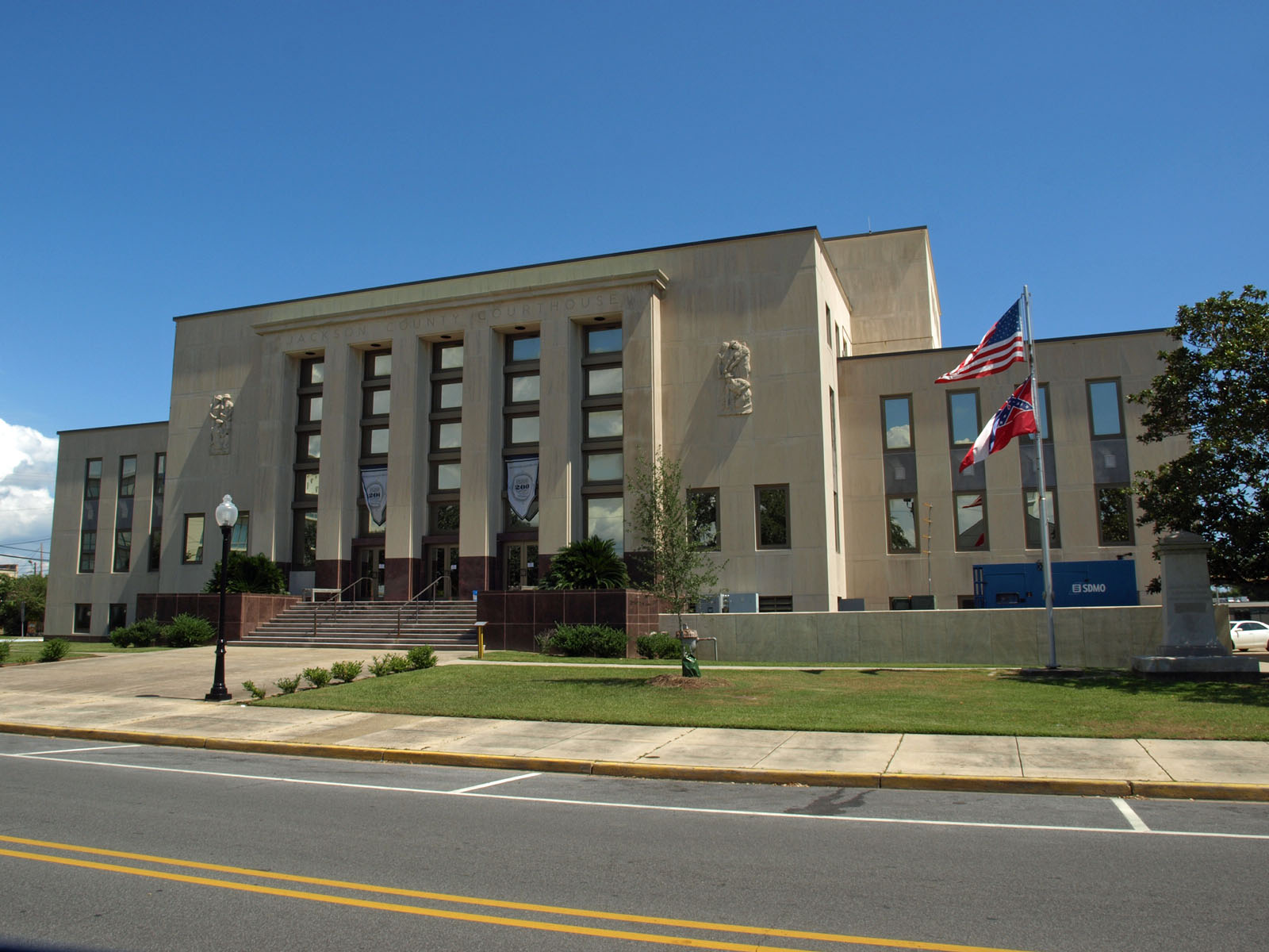
About Jackson County, Mississippi

Jackson County is a county located in the U.S. state of Mississippi. As of the 2020 census, the population was 143,252, making it the fifth-most populous county in Mississippi. Its county seat is Pascagoula. The county was named for Andrew Jackson, general in the United States Army and afterward President of the United States. Jackson County is included in the Pascagoula, MS Metropolitan Statistical Area. It is located at the southeastern tip of the state. The county has sandy soil and is in the Piney Woods area. It borders the state of Alabama on its east side. The county was severely damaged by both Hurricane Camille in August 1969 and Hurricane Katrina on August 29, 2005, which caused catastrophic effects.
What native lands am I currently in?
Find the Indigenous territories you are currently on. Consider the Indigenous history of your area and reflect on the effects of colonization by exploring the native lands at your location. Data provided by Native Land. Data should be considered approximate and should not by itself be considered an authoritative source.