What Indigenous territories am I in?
Native Lands Map
More Information
About Chicot County, Arkansas
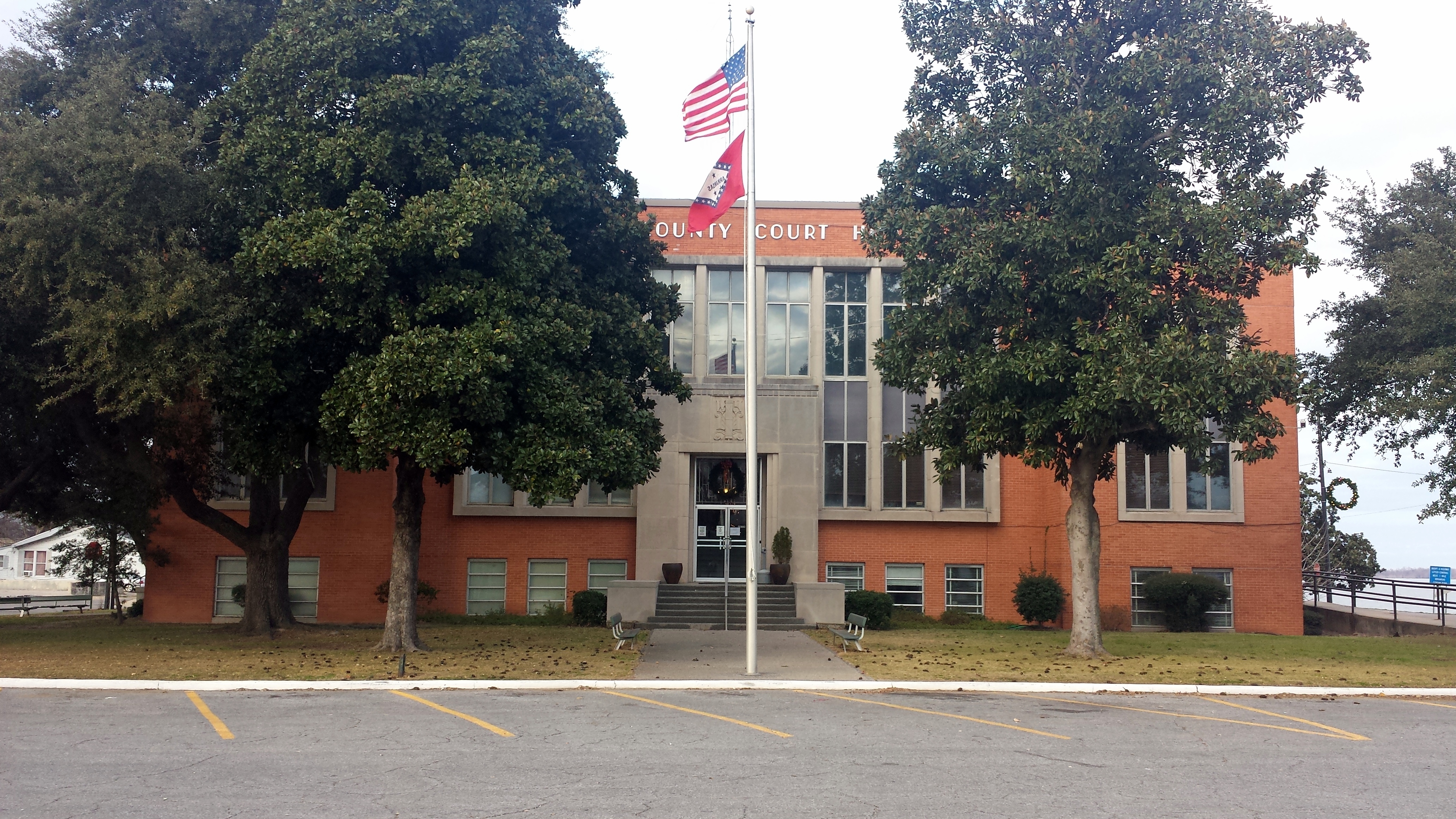
Chicot County is a county located in the southeastern corner of the U.S. state of Arkansas. As of the 2020 census, the population was 10,208. The county seat is Lake Village. Chicot County is Arkansas's 10th county, formed on October 25, 1823, and named after Point Chicot on the Mississippi River. It is part of the Arkansas Delta, lowlands along the river that have been historically important as an area for large-scale cotton cultivation. Landmarks around the county include Lake Chicot, North America's largest oxbow lake and Arkansas's largest natural lake; the site of Charles Lindbergh's first night-time flight; and the legendary burial site of Hernando De Soto, near Lake Village.
What native lands am I currently in?
Find the Indigenous territories you are currently on. Consider the Indigenous history of your area and reflect on the effects of colonization by exploring the native lands at your location. Data provided by Native Land. Data should be considered approximate and should not by itself be considered an authoritative source.