What Indigenous territories am I in?
Native Lands Map
More Information
About Greer County, Oklahoma
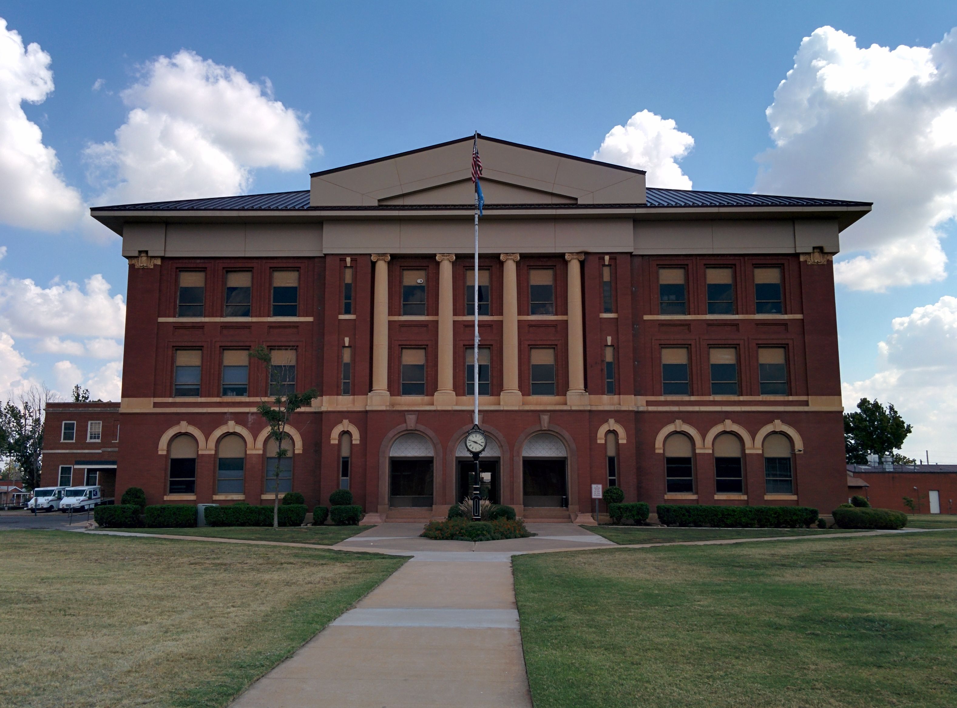
Greer County is a county located along the southwest border of the U.S. state of Oklahoma. As of the 2020 census, the population was 5,491. Its county seat is Mangum. From 1860 to 1896, the state of Texas claimed an area known as Greer County, Texas, which included present-day Greer County along with neighboring areas. In 1896 it was designated as a county in Oklahoma Territory under a ruling by the US Supreme Court. The rural Greer County is home to Quartz Mountain State Park, near the community of Lone Wolf, Oklahoma. It is also home to the Oklahoma State Reformatory, located in Granite. Its population has declined since 1930 due to changes in agriculture and migration to cities for work.
What native lands am I currently in?
Find the Indigenous territories you are currently on. Consider the Indigenous history of your area and reflect on the effects of colonization by exploring the native lands at your location. Data provided by Native Land. Data should be considered approximate and should not by itself be considered an authoritative source.