What Indigenous territories am I in?
Benton County, Arkansas
Native Lands Map
Loading map…
More Information
Address
City
County
State
ZIP Code
Country
Native Lands
Neighborhood
Plant Hardiness Zone
Intersection
GPS coordinates
About Benton County, Arkansas
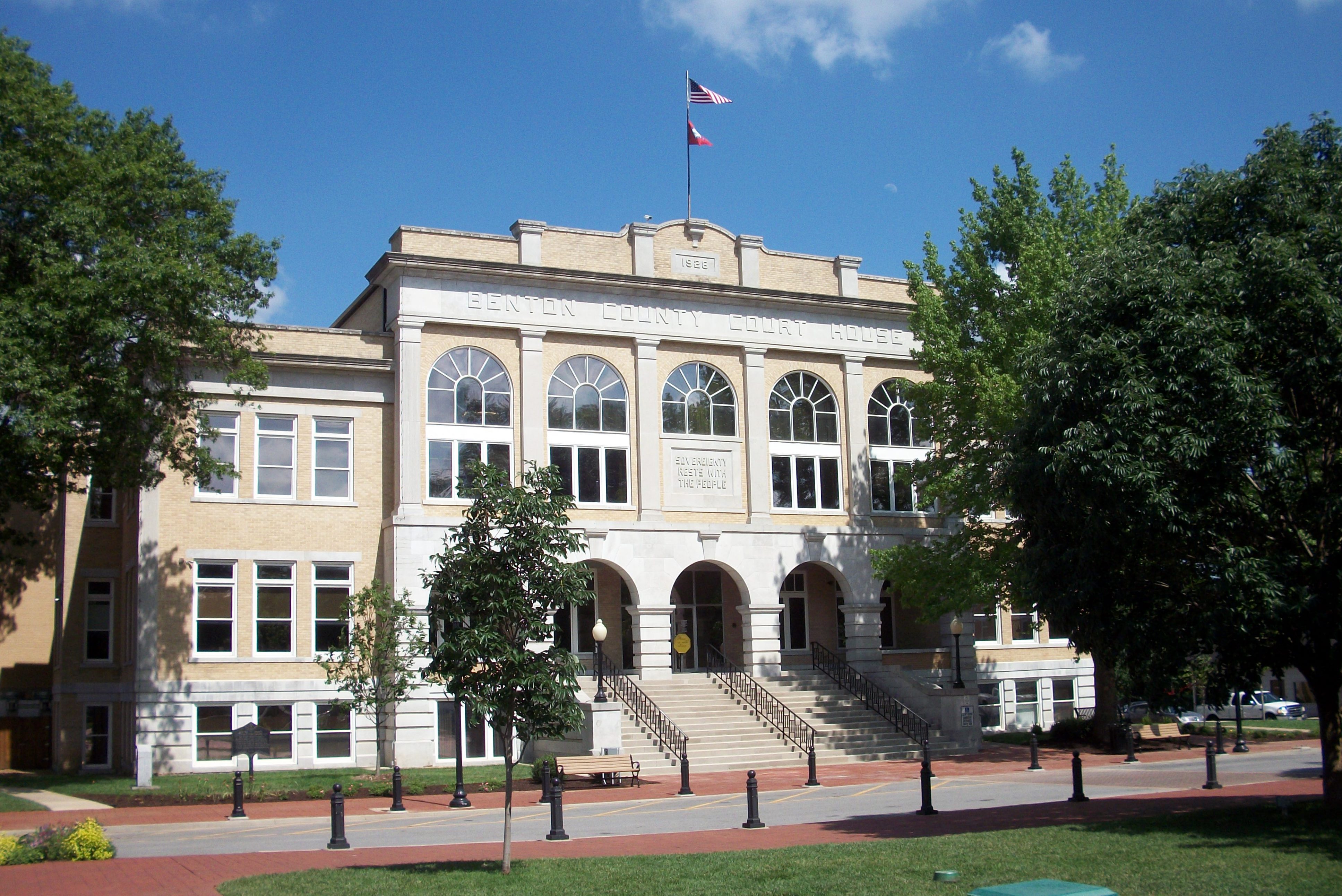
Benton County is a county in the Northwest region of the U.S. state of Arkansas. Created as Arkansas' 35th county on September 30, 1836, Benton County contains thirteen incorporated municipalities, including Bentonville, the county seat, and Rogers, the most populous city. The county was named after Thomas Hart Benton, a U.S. Senator from Missouri influential in Arkansas statehood.
What native lands am I currently in?
Find the Indigenous territories you are currently on. Consider the Indigenous history of your area and reflect on the effects of colonization by exploring the native lands at your location. Data provided by Native Land. Data should be considered approximate and should not by itself be considered an authoritative source.
More Resources
What county am I in?What parish am I in?What state am I in?What township am I in?What town am I in?What municipality am I in?What village am I in?What district am I in?What barrio am I in?What school district am I in?What neighborhood am I in?What ZIP code am I in?What city am I in?What plant hardiness zone am I in?What indigenous territories am I in?What country am I in?What is my intersection?Current GPS coordinatesCounty maps