What Indigenous territories am I in?
Native Lands Map
More Information
About Randolph County, Arkansas
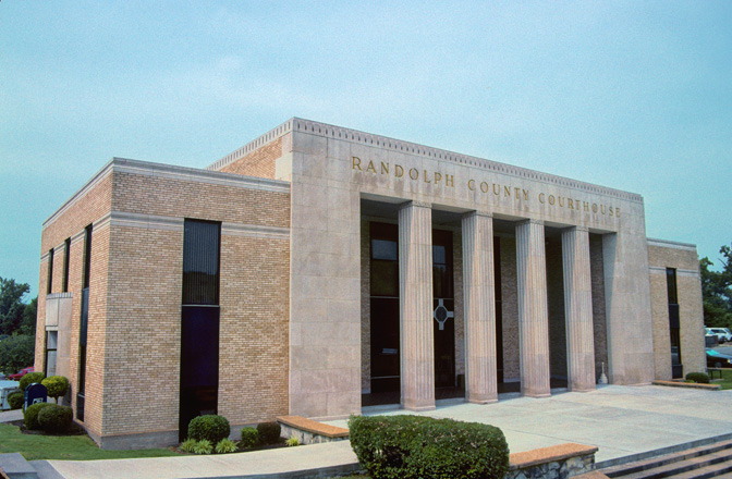
Randolph County is located between the Ozark Mountains and Arkansas Delta in the U.S. state of Arkansas. The county is named for John Randolph, a U.S. senator from Virginia influential in obtaining congressional approval of the Louisiana Purchase, which includes today's Randolph County. Created as Arkansas's 32nd county on October 29, 1835, Randolph County has two incorporated cities, including Pocahontas, the county seat and most populous city. The county is also the site of numerous unincorporated communities and ghost towns. Crossed by five rivers, most of Randolph County contains foothills and valleys typical of the Ozarks. However, the eastern side of the county is largely flat with fertile soils typical of the Delta, with the Black River roughly dividing the regions. The county contains three protected areas: two Wildlife Management Areas and Davidsonville Historic State Park, which preserves and interprets an early pioneer settlement. Other historical features such as log cabins, one-room school houses, community centers, and museums describe the history and culture of Randolph County.
What native lands am I currently in?
Find the Indigenous territories you are currently on. Consider the Indigenous history of your area and reflect on the effects of colonization by exploring the native lands at your location. Data provided by Native Land. Data should be considered approximate and should not by itself be considered an authoritative source.