What Indigenous territories am I in?
Native Lands Map
More Information
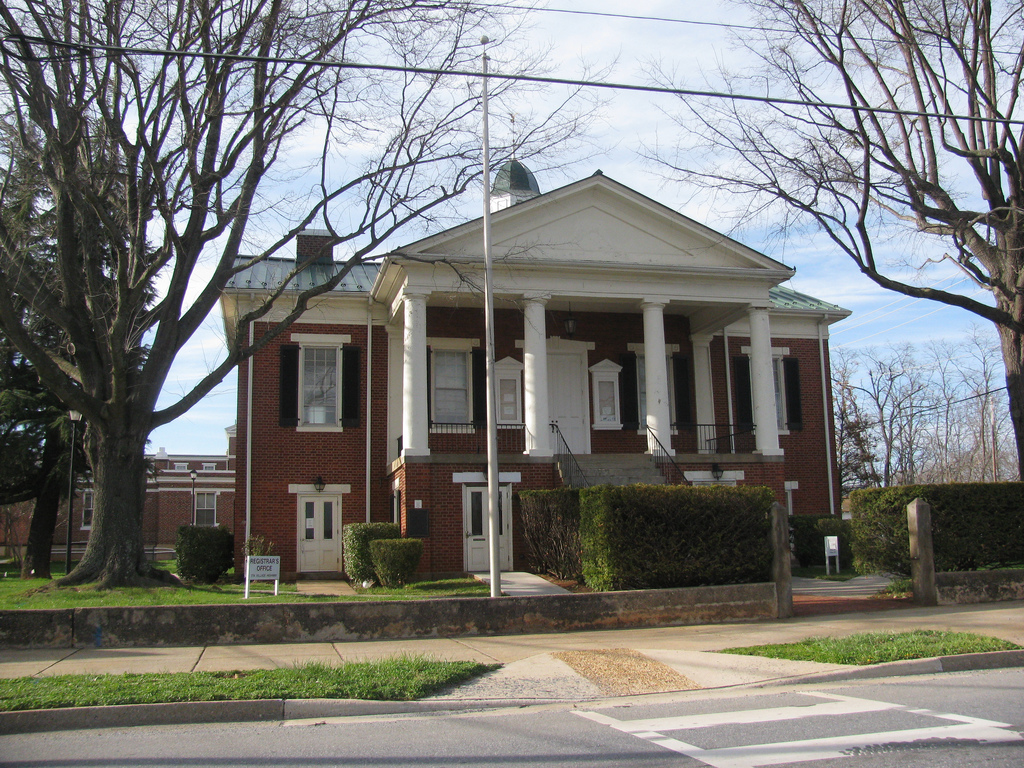
About Campbell County, Virginia

Campbell County is a United States county situated in the south central part of the Commonwealth of Virginia. Located in the Piedmont region of Virginia, Campbell borders the Blue Ridge Mountains. The county seat is Rustburg. Grounded on a tobacco cash crop economy, Campbell County was created in 1782 from part of Bedford County. The county was named in honor of General William Campbell, hero of the American Revolutionary War. Campbell County is part of the Lynchburg metropolitan area. At the 2020 census, the county population was 55,696. The number of residents has grown steadily in every census after 1930, and the total population has more than doubled since that time. Lynchburg was established in Campbell County in 1786, incorporated as a town in 1805, and separated from Campbell County when it became an independent city in 1852. Lynchburg has annexed additional land from Bedford County and Campbell County through the years, most recently in 1976.
What native lands am I currently in?
Find the Indigenous territories you are currently on. Consider the Indigenous history of your area and reflect on the effects of colonization by exploring the native lands at your location. Data provided by Native Land. Data should be considered approximate and should not by itself be considered an authoritative source.