What Indigenous territories am I in?
Native Lands Map
More Information
About Owsley County, Kentucky
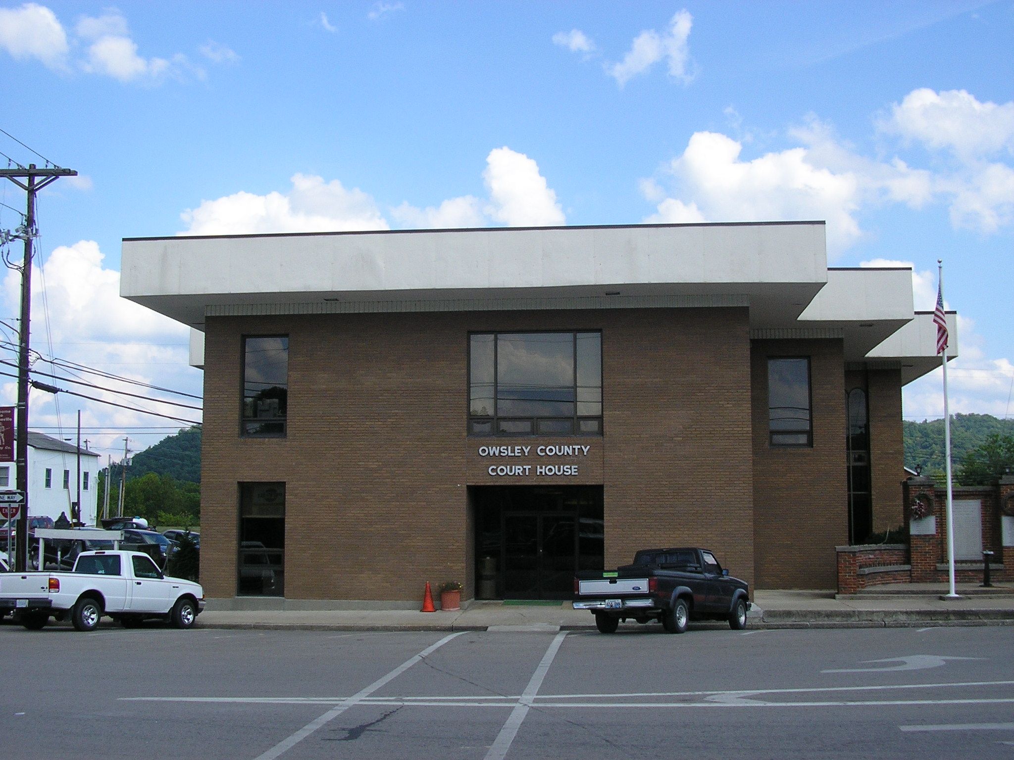
Owsley County is a county located in the Eastern Coalfield region of the U.S. state of Kentucky. As of the 2020 census, the population was 4,051, making it the second-least populous county in Kentucky. The county seat is Booneville. The county was organized on January 23, 1843, from Clay, Estill, and Breathitt counties and named for William Owsley (1782–1862), the judge of the Kentucky Court of Appeals and Governor of Kentucky (1844–48). According to the 2010 census reports, Owsley County has the second-highest level of child poverty of any county in the United States. In terms of income per household, the county is the poorest in the nation. Between 1980 and 2014, the rate of death from cancer in the county increased by 45.6 percent, the largest such increase of any county in the United States.
What native lands am I currently in?
Find the Indigenous territories you are currently on. Consider the Indigenous history of your area and reflect on the effects of colonization by exploring the native lands at your location. Data provided by Native Land. Data should be considered approximate and should not by itself be considered an authoritative source.