What Indigenous territories am I in?
Native Lands Map
More Information
About Garrard County, Kentucky

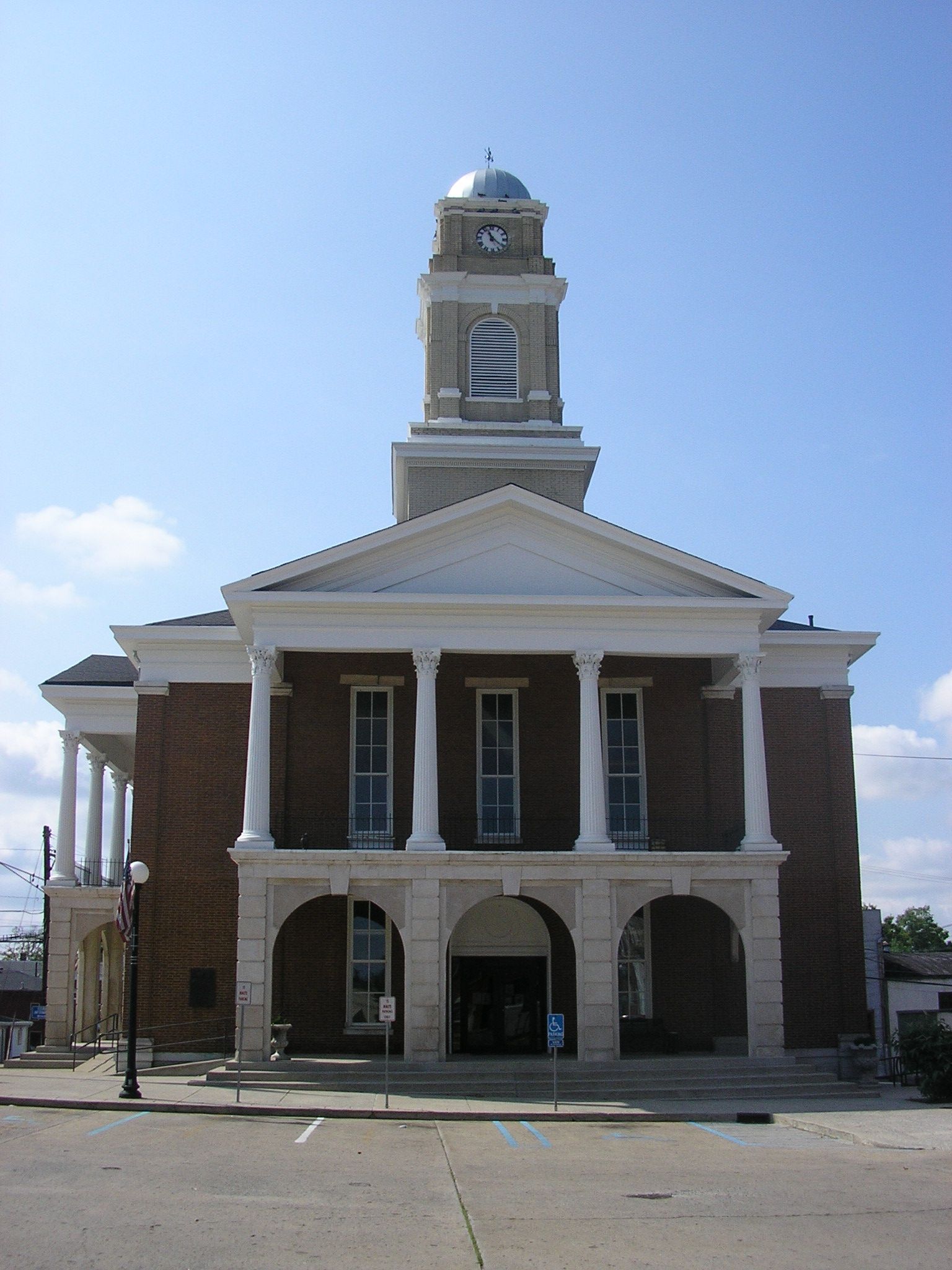
Garrard County is a county located east-central Kentucky. As of the 2020 census, the county's population was 16,953. Its county seat is Lancaster. The county was formed in 1796 and was named for James Garrard, Governor of Kentucky from 1796 to 1804. It was a prohibition or dry county until November 7, 2023, when voters approved to allow alcohol sales countywide. Lancaster was founded as a collection of log cabins in 1776 near a spring that later provided a constant source of water to early pioneers. It is one of the oldest cities in the Commonwealth. Boonesborough, 25 miles to the east, was founded by Daniel Boone in 1775. Lexington, 28 miles to the north, was founded in 1775. Stanford, originally known as St. Asaph, is 10 miles south of Lancaster. It too was founded in 1775. The oldest permanent settlement in Kentucky, Harrodsburg, was founded in 1774 and is 18 miles to the west. Garrard's present day courthouse is one of the oldest courthouses in Kentucky in continuous use.
What native lands am I currently in?
Find the Indigenous territories you are currently on. Consider the Indigenous history of your area and reflect on the effects of colonization by exploring the native lands at your location. Data provided by Native Land. Data should be considered approximate and should not by itself be considered an authoritative source.