What Indigenous territories am I in?
Native Lands Map
More Information
About Washington County, Kentucky
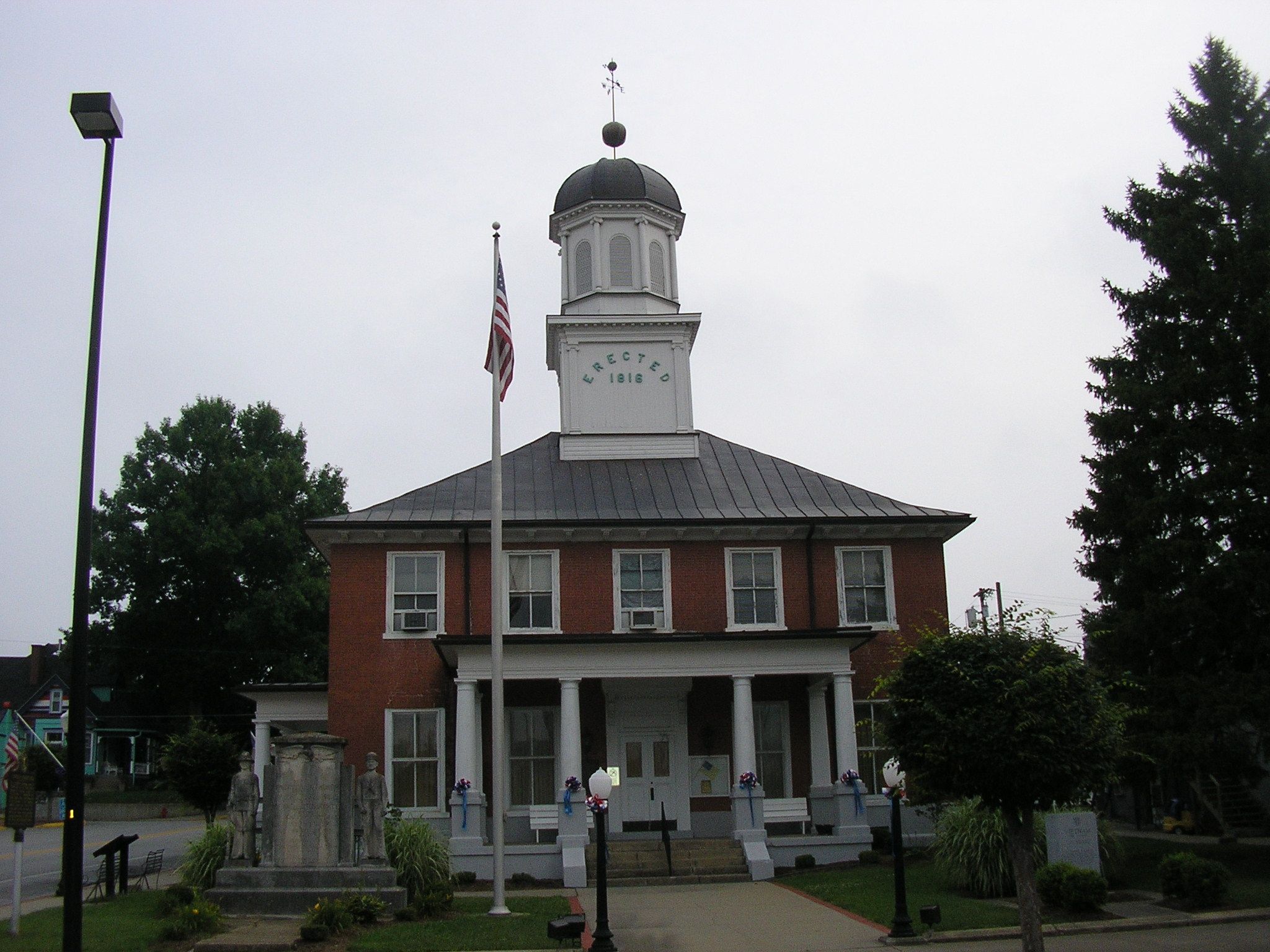
Washington County is a county located in the U.S. state of Kentucky. As of the 2020 census, the population was 12,027. Its county seat is Springfield. The county is named for George Washington. Washington County was the first county formed in the Commonwealth of Kentucky when it reached statehood, and the sixteenth county formed. The center of population of Kentucky is located in Washington County, in the city of Willisburg. The county is dry, meaning that the sale of alcohol is prohibited, but it contains the "wet" city of Springfield, where retail alcohol sales are allowed. This classifies the jurisdiction as a moist county. Three wineries operate in the county and are licensed separately to sell to the public. Jacob Beam, founder of Jim Beam whiskey, sold his first barrel of whiskey in Washington County.
What native lands am I currently in?
Find the Indigenous territories you are currently on. Consider the Indigenous history of your area and reflect on the effects of colonization by exploring the native lands at your location. Data provided by Native Land. Data should be considered approximate and should not by itself be considered an authoritative source.