What Indigenous territories am I in?
Native Lands Map
More Information
About Prince George's County, Maryland
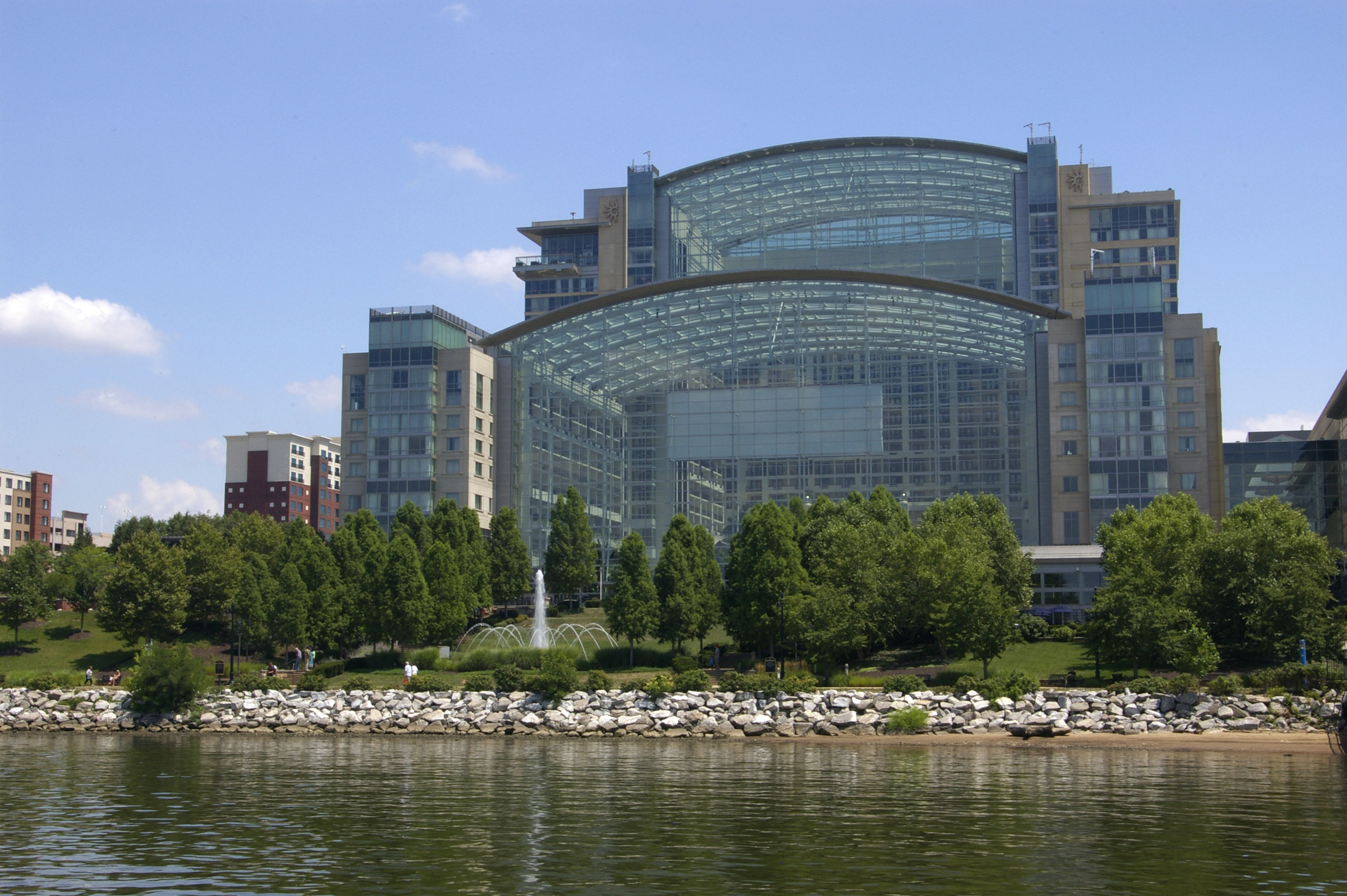
Prince George's County is located in the U.S. state of Maryland bordering the eastern portion of Washington, D.C. As of the 2020 U.S. census, the population was 967,201, making it the second-most populous county in Maryland, behind neighboring Montgomery County. The 2020 census counted an increase of nearly 104,000 in the previous ten years. Its county seat is Upper Marlboro. It is the most populous African American-majority county in the United States, as well as the second most affluent behind neighboring Charles County.
What native lands am I currently in?
Find the Indigenous territories you are currently on. Consider the Indigenous history of your area and reflect on the effects of colonization by exploring the native lands at your location. Data provided by Native Land. Data should be considered approximate and should not by itself be considered an authoritative source.