What Indigenous territories am I in?
Native Lands Map
More Information
About Boone County, Kentucky
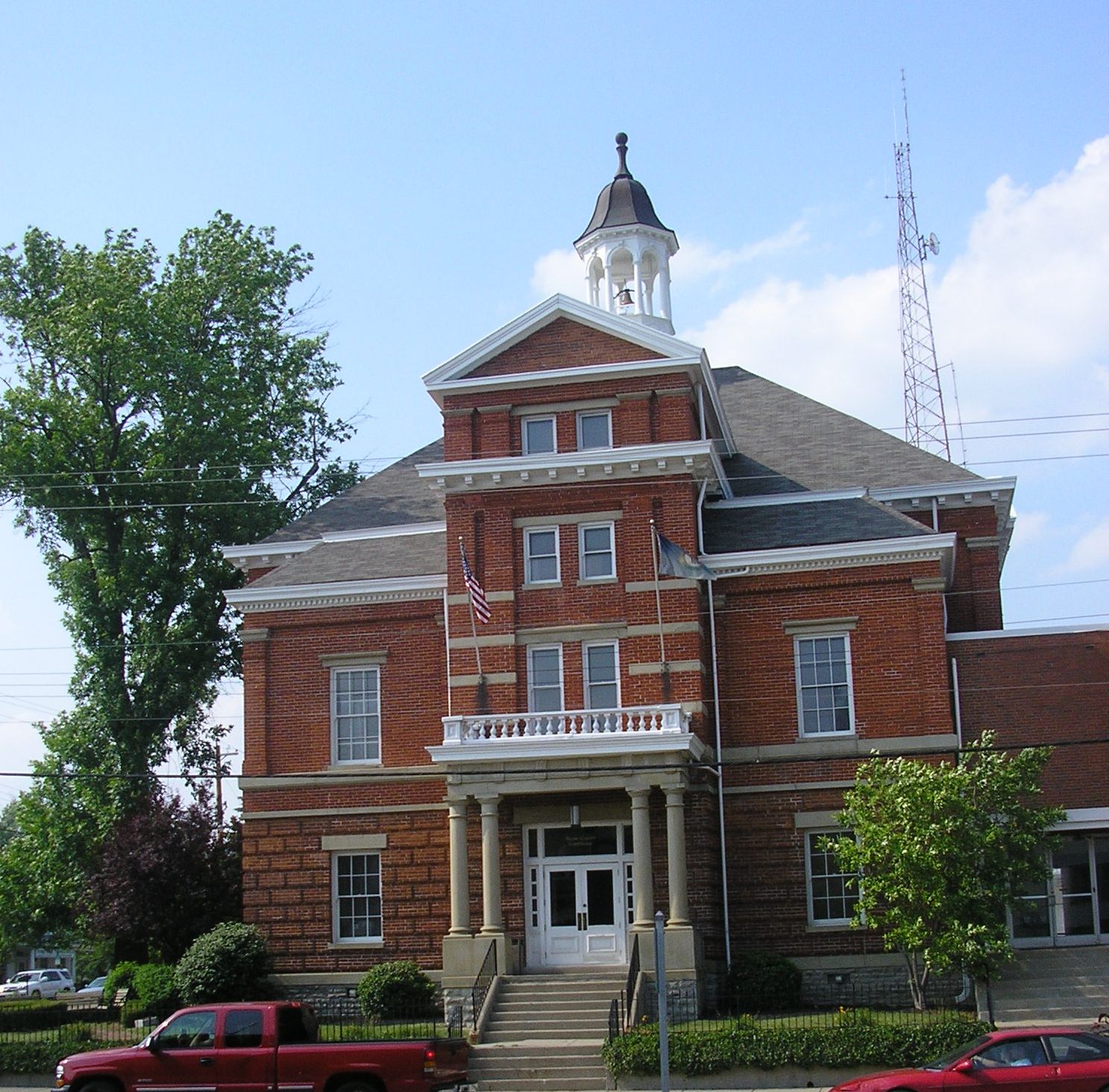
Boone County is a county located on the Ohio River in the northernmost part of the Commonwealth of Kentucky. As of the 2020 census, the population was 135,968, making it the fourth-most populous county in Kentucky. Its county seat is Burlington. The county was formed in 1798 from a portion of Campbell County and was named for frontiersman Daniel Boone. Boone County, with Kenton and Campbell Counties, is of the Northern Kentucky metro area, and the Cincinnati-Middletown, OH-KY-IN Metropolitan Statistical Area. It is the location of the Cincinnati/Northern Kentucky International Airport, which serves Cincinnati and the tri-state area.
What native lands am I currently in?
Find the Indigenous territories you are currently on. Consider the Indigenous history of your area and reflect on the effects of colonization by exploring the native lands at your location. Data provided by Native Land. Data should be considered approximate and should not by itself be considered an authoritative source.