What Indigenous territories am I in?
Native Lands Map
More Information
About Clay County, Missouri
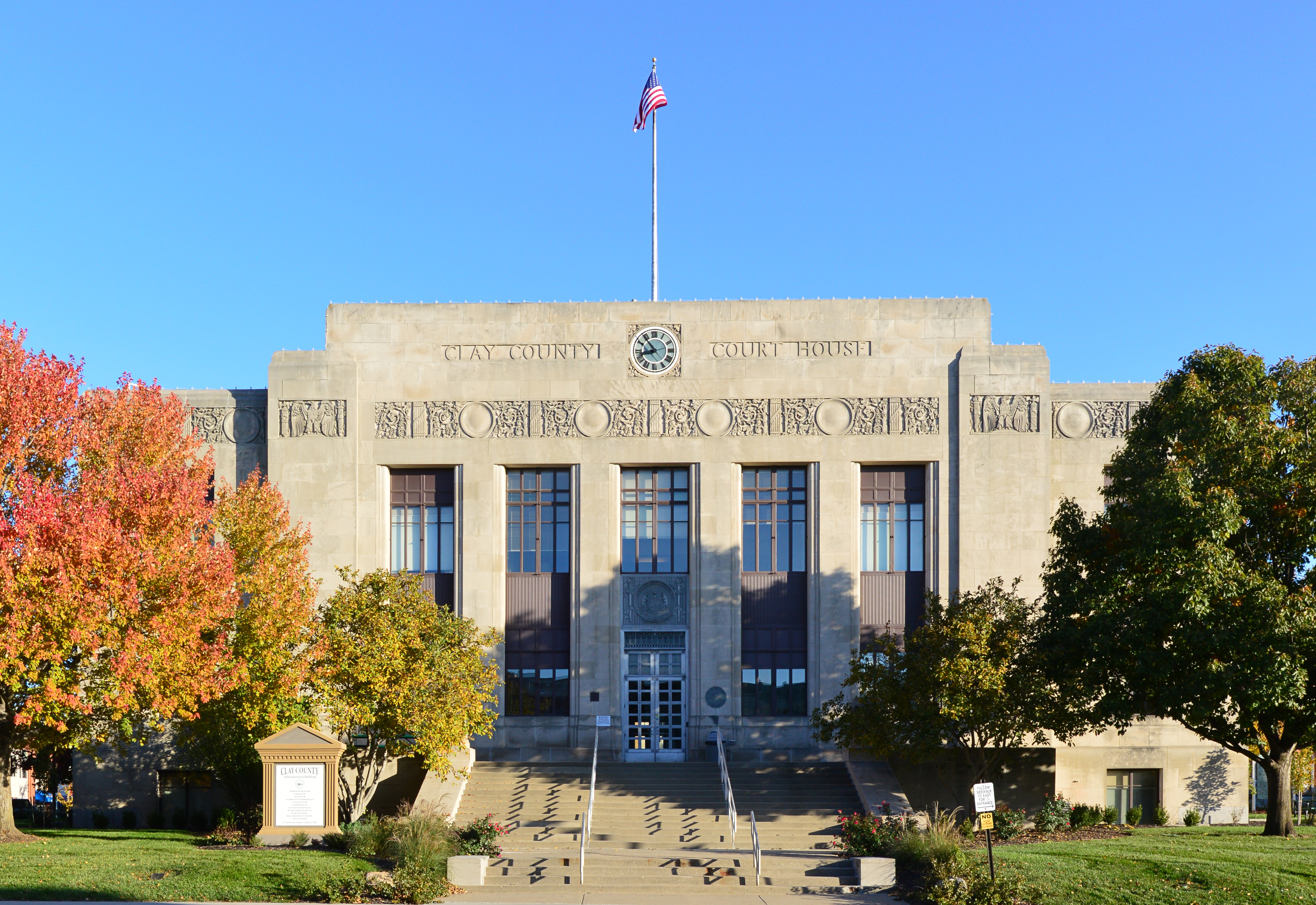
Clay County is located in the U.S. state of Missouri and is part of the Kansas City metropolitan area. As of the 2020 census, the county had a population of 253,335, making it the fifth-most populous county in Missouri. Its county seat is Liberty. The county was organized January 2, 1822, and named in honor of U.S. Representative Henry Clay from Kentucky, later a member of the United States Senate and United States Secretary of State. Clay County contains many of the area's northern suburbs, along with a substantial portion of the city of Kansas City, Missouri. It also owns and operates the Midwest National Air Center in Excelsior Springs.
What native lands am I currently in?
Find the Indigenous territories you are currently on. Consider the Indigenous history of your area and reflect on the effects of colonization by exploring the native lands at your location. Data provided by Native Land. Data should be considered approximate and should not by itself be considered an authoritative source.