What Indigenous territories am I in?
Native Lands Map
More Information
About Fayette County, Ohio
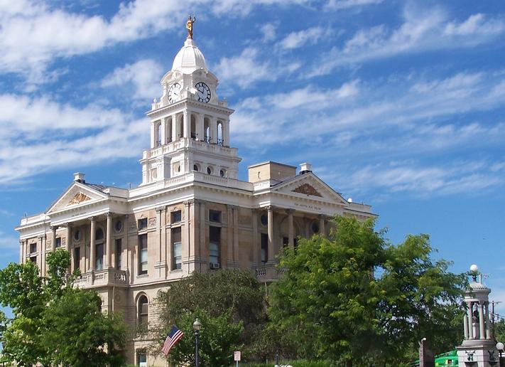
Fayette County is a county located in the U.S. state of Ohio. As of the 2020 census, the population was 28,951. Its county seat and largest city is Washington Court House. The county was named for the Marquis de Lafayette, a Frenchman who was an officer in the American Army in the Revolution, when established on March 1, 1810. Fayette County comprises the Washington Court House, OH Micropolitan Statistical Area, which is also included in the Columbus-Marion-Zanesville, OH Combined Statistical Area.
What native lands am I currently in?
Find the Indigenous territories you are currently on. Consider the Indigenous history of your area and reflect on the effects of colonization by exploring the native lands at your location. Data provided by Native Land. Data should be considered approximate and should not by itself be considered an authoritative source.