What Indigenous territories am I in?
Native Lands Map
More Information
About Marion County, Missouri
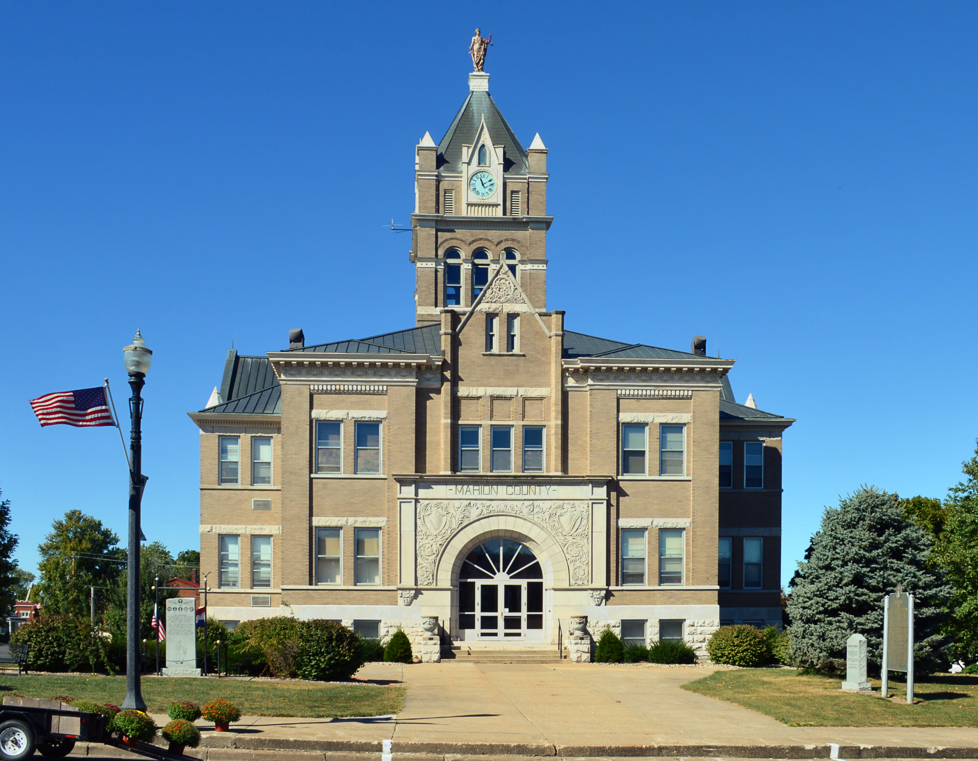
Marion County is a county located in the northeastern portion of Missouri. As of the 2020 census, the population was 28,525. Its county seat is Palmyra. Unique from most third-class counties in the state, Marion has two county courthouses, the second located in Hannibal. The county was organized on December 23, 1826 and named for General Francis Marion, the "Swamp Fox," who was from South Carolina and served in the American Revolutionary War. The area was known as the "Two Rivers Country" before organization. Marion County is part of the Hannibal, Missouri Micropolitan Statistical Area, which is included in the Quincy-Hannibal, IL-MO Combined Statistical Area.
What native lands am I currently in?
Find the Indigenous territories you are currently on. Consider the Indigenous history of your area and reflect on the effects of colonization by exploring the native lands at your location. Data provided by Native Land. Data should be considered approximate and should not by itself be considered an authoritative source.