What Indigenous territories am I in?
Native Lands Map
More Information
About Tippecanoe County, Indiana
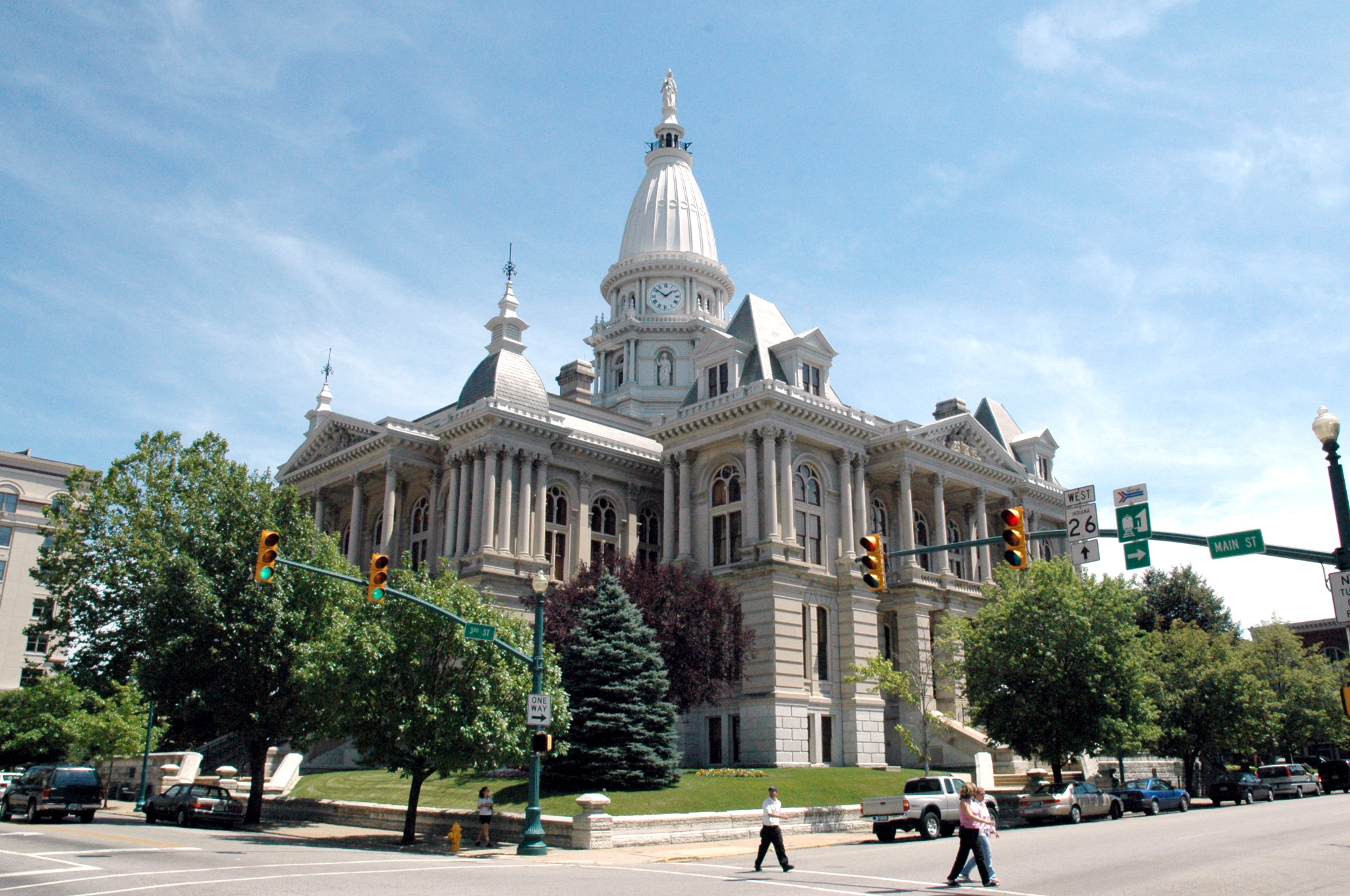
Tippecanoe County is a county located in the west-central portion of the U.S. state of Indiana about 22 miles (35 km) east of the Illinois state line, less than 50 miles (80 km) from the Indianapolis metro area, and 130 miles (210 km) from Chicago. As of the 2020 census, the population was 186,251. The county seat and largest city is Lafayette. It was created in 1826 from Wabash County portion of New Purchase and unorganized territory.
What native lands am I currently in?
Find the Indigenous territories you are currently on. Consider the Indigenous history of your area and reflect on the effects of colonization by exploring the native lands at your location. Data provided by Native Land. Data should be considered approximate and should not by itself be considered an authoritative source.