What Indigenous territories am I in?
Native Lands Map
More Information
About Jerome County, Idaho
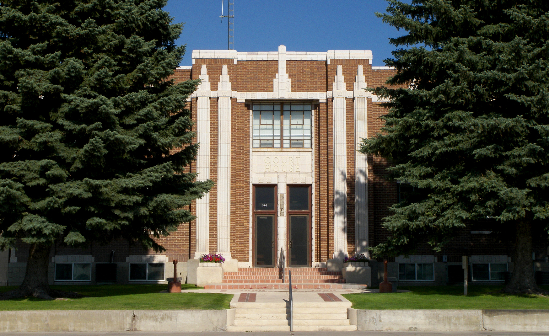
Jerome County is a county in the U.S. state of Idaho. As of the 2020 Census the county had a population of 24,237. The county seat and largest city is Jerome. The county was created by the Idaho Legislature on February 8, 1919, from a partition of Lincoln County. It was named after either Jerome Hill, a developer of the North Side Irrigation Project, his son-in-law Jerome Kuhn, or his grandson Jerome Kuhn, Jr. Jerome County is part of the Twin Falls, ID Micropolitan Statistical Area. The Minidoka Relocation Camp, one of ten Japanese American internment camps set up during World War II, was located in Hunt of Jerome County, six miles (9.7 km) north west of Eden.
What native lands am I currently in?
Find the Indigenous territories you are currently on. Consider the Indigenous history of your area and reflect on the effects of colonization by exploring the native lands at your location. Data provided by Native Land. Data should be considered approximate and should not by itself be considered an authoritative source.