What Indigenous territories am I in?
Native Lands Map
More Information
About York County, Maine
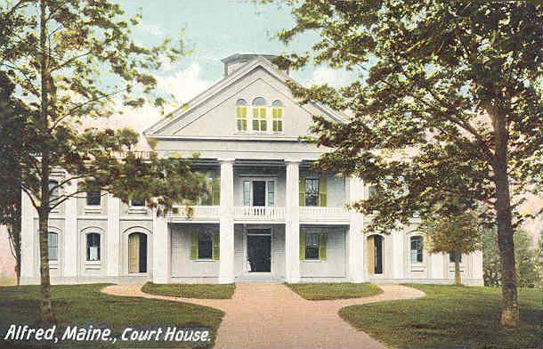
York County is both the southernmost and the westernmost county in the U.S. state of Maine, along the state of New Hampshire's eastern border. It is divided from Strafford County, New Hampshire, by the Salmon Falls River and the connected tidal estuary, the Piscataqua River. York County was permanently established in 1639. Several of Maine's earliest colonial settlements are found in the county, which is the state's oldest and one of the oldest in the United States. As of the 2020 census, its population was 211,972, making it Maine's second-most populous county. Its county seat is Alfred. York County is part of the Portland–South Portland, Maine Metropolitan Statistical Area.
What native lands am I currently in?
Find the Indigenous territories you are currently on. Consider the Indigenous history of your area and reflect on the effects of colonization by exploring the native lands at your location. Data provided by Native Land. Data should be considered approximate and should not by itself be considered an authoritative source.