What Indigenous territories am I in?
Native Lands Map
More Information
About Chisago County, Minnesota
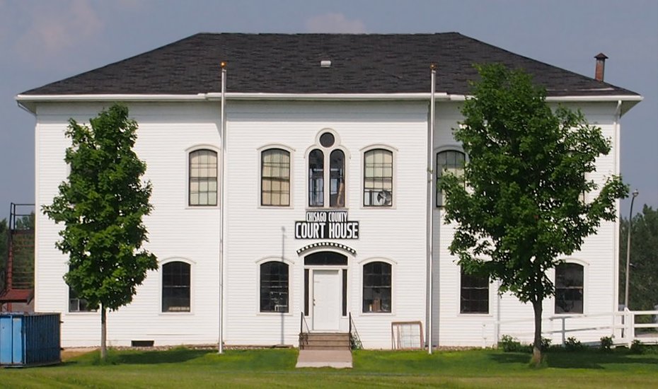
Chisago County is a county in the east-central part of the U.S. state of Minnesota. The county covers an area of 442 square miles and, as of the 2020 Census, had a population of 56,621 people. It is part of the Minneapolis-St. Paul-Bloomington Metropolitan Statistical Area. The county's largest city is North Branch. Within Chisago County is the Chisago Lakes area, which includes the combined areas of Shafer, Chisago City, Lindström, and Center City. Center City is the county seat. The county has a diverse economy, including manufacturing, agriculture, and tourism.
What native lands am I currently in?
Find the Indigenous territories you are currently on. Consider the Indigenous history of your area and reflect on the effects of colonization by exploring the native lands at your location. Data provided by Native Land. Data should be considered approximate and should not by itself be considered an authoritative source.