What Indigenous territories am I in?
Native Lands Map
More Information
About Clark County, Washington
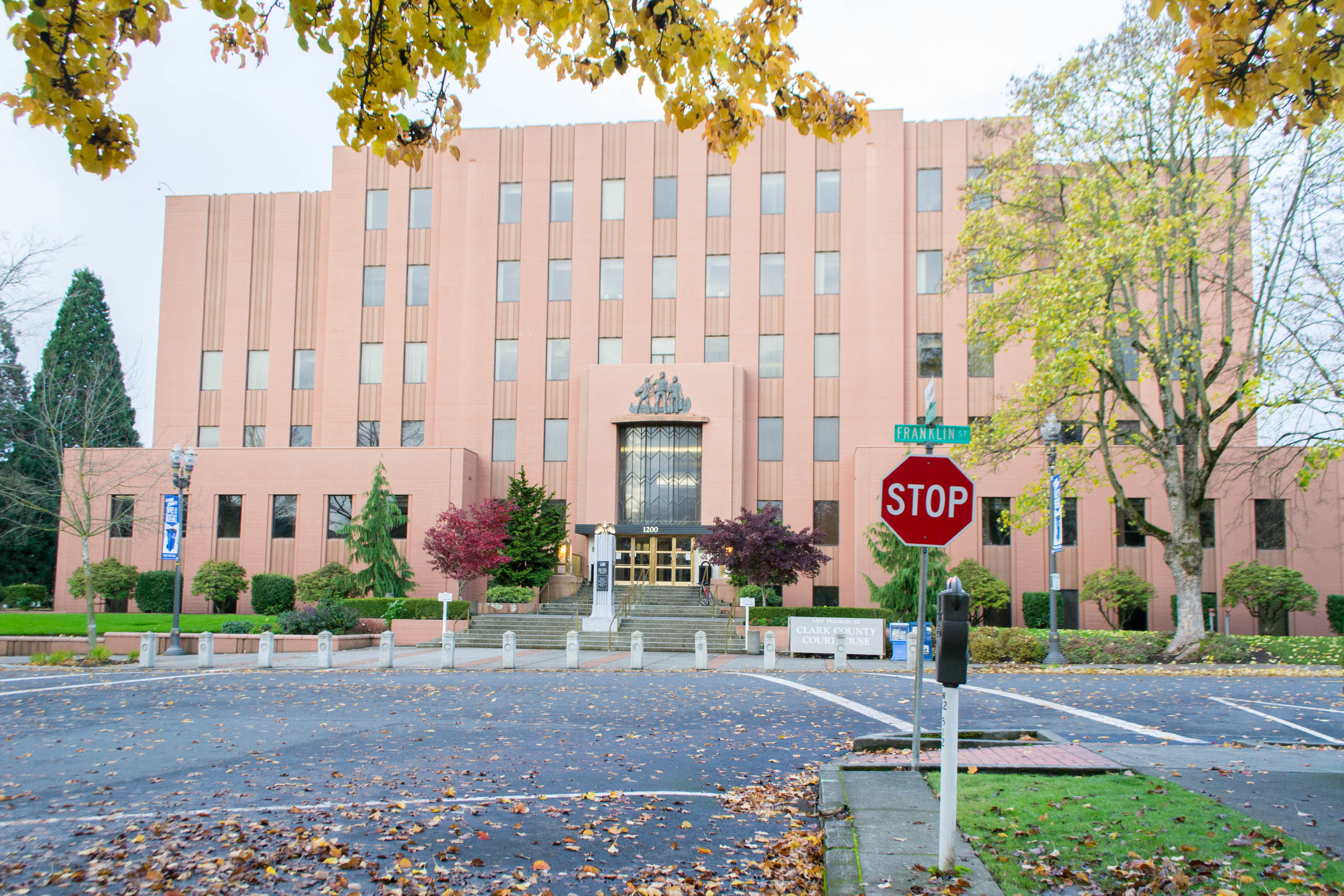
Clark County is the southernmost county in the U.S. state of Washington. As of the 2020 census, the population was 503,311, making it Washington's fifth-most populous county. Its county seat and largest city is Vancouver. It was the first county in Washington, first named Vancouver County in 1845 before being renamed for William Clark of the Lewis and Clark Expedition in 1849. It was created by the Provisional Government of Oregon in Oregon Country on August 20, 1845, and at that time covered the entire present-day state. Clark County is the third-most-populous county in the Portland-Vancouver-Hillsboro Metropolitan Statistical Area, and is across the Columbia River from Portland, Oregon.
What native lands am I currently in?
Find the Indigenous territories you are currently on. Consider the Indigenous history of your area and reflect on the effects of colonization by exploring the native lands at your location. Data provided by Native Land. Data should be considered approximate and should not by itself be considered an authoritative source.